
Service 02
LiDAR Scanning
Our LiDAR scanners capture millions of data points per second, building millimeter-accurate point clouds of interiors, facades, and complex sites — the foundation data behind every as-built plan, permit package, and digital twin we deliver.
The Technology
How LiDAR scanning works
LiDAR — Light Detection and Ranging — works by firing rapid pulses of laser light at a surface and timing exactly how long each pulse takes to bounce back. Millions of these measurements per second are combined into a dense point cloud: a precise 3D map of every wall, corner, and surface in a space.
That precision is what makes LiDAR the right foundation for as-built work. Tape measures and photographs introduce human error that compounds across a large or irregular space — LiDAR doesn't. A single scan captures complex geometry, out-of-square walls, and hard-to-reach areas exactly as they exist, in a fraction of the time manual measuring would take.
Millimeter accuracy
Every point in the cloud is measured directly, not estimated, so your as-built plans match the real structure instead of an approximation of it.
Minutes, not days
A full interior or exterior scan takes minutes on site, versus hours of manual measuring and repeat visits to check a missed dimension.
One dataset, every deliverable
The same scan feeds your 2D CAD drawings, Revit models, permit packages, and digital twins, with no re-measuring between formats.
What's Included
LiDAR Scanning deliverables
High-density 3D capture
Our scanners record millions of individual measurements per second, building a dense point cloud that captures every wall, corner, and fixture at true, real-world scale — accurate to the millimeter, not the inch.
Rapid turnaround times
Raw scan data is registered and processed quickly after the site visit, so your team gets a usable dataset within days, not weeks — keeping design, permitting, and construction schedules on track.
Interior & exterior coverage
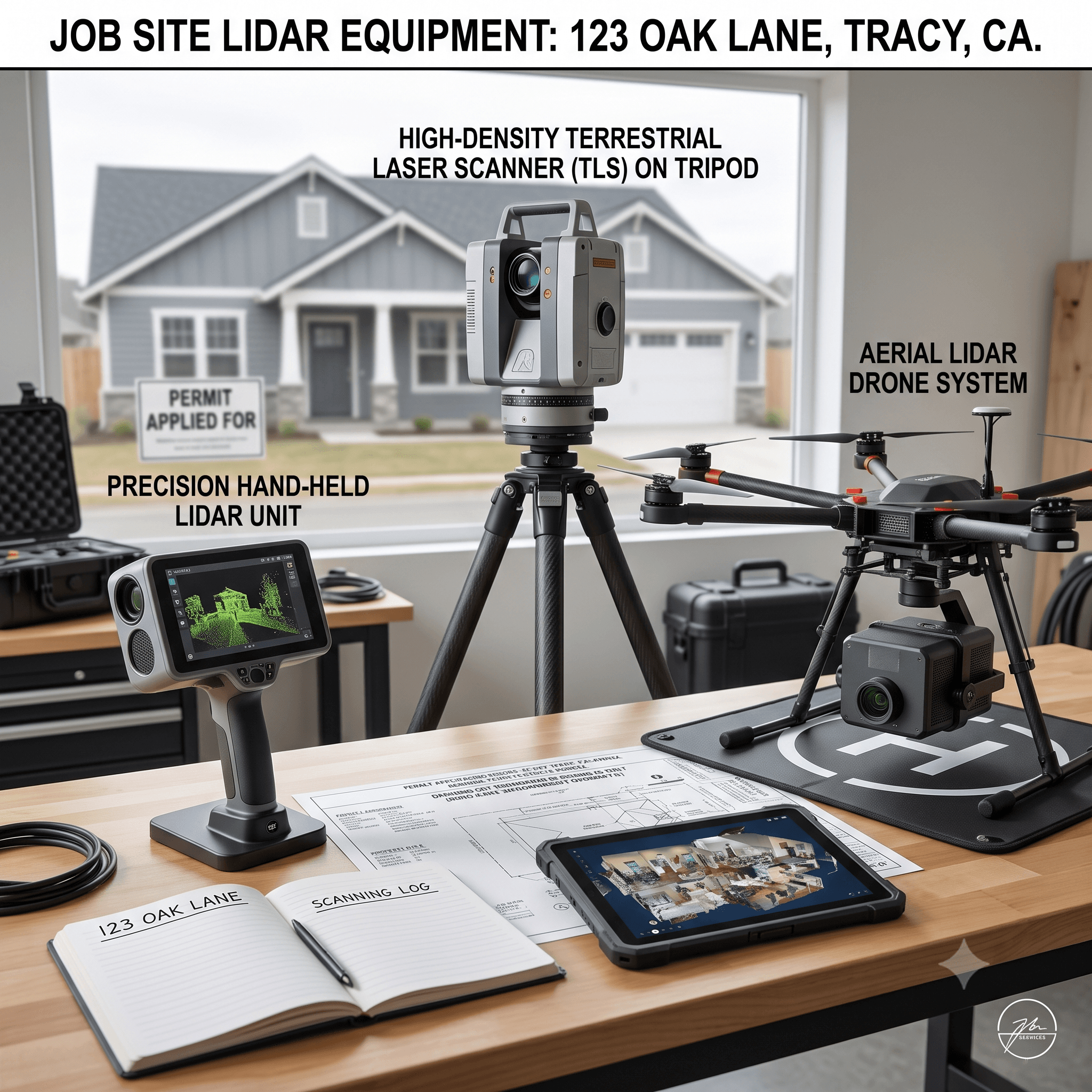
We combine terrestrial, hand-held, and aerial LiDAR units to capture interiors, facades, rooflines, and hard-to-access areas in a single coordinated scan, so nothing gets missed or measured separately.
Foundation for every deliverable
Every plan, model, and permit set we produce traces back to the same scan — 2D CAD drawings, Revit BIM models, Chief Architect renders, and digital twins are all generated from one accurate source of truth.
Explore our other services
Ready to start your project?
Tell us about your site and we'll put together a quote tailored to your project.